3D Nature has brought the benefits of the USGS NLCD (National Land Cover Database) to VNS users. To see the data in action, check out the NLCD tutorials.
The VNS NLCD Content contains one VNS Template project, supporting texture image files, and compressed GeoTIFF raster images for the ‘lower 48’ US states.
To use the Template, VNS users simply create a new project, specifying the NLCD Template project as an active template to inherit from. This will provide 22 pre-made ecosystems in the project from the very start. These 22 ecosystems correspond to the 22 basic landcover types defined by NLCD.
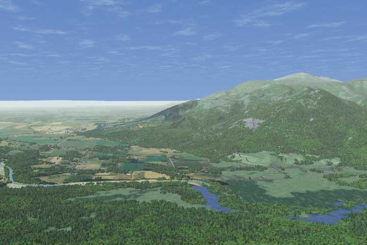
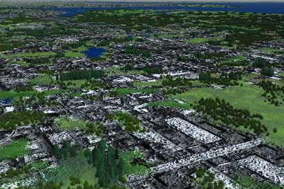
Next, DEM data is added and the GeoTIFF imagery is loaded as a Color Map. The result is a fully populated, vegetated/urban landscape driven by the landcover classification in the NLCD data.